Web Spotlight Build Status: . Updated at Invalid Date.
Copy link
Clear production site cache and rebuild
Clear Web Spotlight site cache and rebuild
Reindex Algolia
Mapping the Moon: A Brief History of Lunar Cartography from Galileo to the Lunar Reconnaissance Orbiter

Mapping the Moon

A Brief History of Lunar Cartography from Galileo to the Lunar Reconnaissance Orbiter

A New Era of Accuracy

Beginning in the mid-18th century, lunar cartographers produced increasingly detailed maps of the Moon with accurate positions and measurements of surface features.

Mayer created his map in 1749. Longitude and latitude lines were added for the 1775 publication. Image source: Mayer, Tobias. Opera inedita (Unedited Works). Göttingae: Johann. Christian. Dieterich, 1775. View Source


Tobias Mayer

Tobias Mayer, a German mathematician, began studying the Moon in 1747 and became the first cartographer to accurately measure prominent features on the lunar surface. He had planned to produce 15-inch lunar globes, but he died in 1762 without having completed the project. Mayer’s manuscripts were published posthumously in 1775. They included a lunar map that, based on Mayer’s measurements of surface features, set a new standard for accuracy.


The southwest quadrant of Beer’s and Mädler’s map. A notable feature is the mare, Oceanus Procellarum (Ocean of Storms). Image source: Beer, Wilhelm, and Johann Heinrich Mädler. Mappa selenographica (Map of the Moon). Berlin: apud Simon Schropp & Soc., 1834. View Source


Wilhelm Beer and Johann Heinrich von Mädler

German astronomers Wilhelm Beer and Johann Heinrich von Mädler published the first plate of their lunar map in 1834. It was a complete rendering of the lunar nearside divided into quadrants. The detailed and precise depiction and placement of surface features surpassed the quality of all preceding maps.

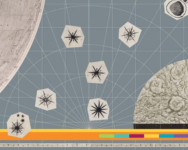
One of 25 plates in Schmidt’s map. He used lighter and darker sepia tones to distinguish surface features such as vertical relief. Image source: Schmidt, Johann Friedrich Julius. Charte der Gebirge des Mondes (Charts of the Mountains of the Moon). Berlin: In Commission bei Dietrich Reimer, 1878.  

Julius Schmidt

Julius Schmidt continued the excellent work of the German school of lunar cartography. He observed the Moon for 34 years and produced the most detailed map of the lunar surface before the era of telescopic photography. With the aid of a 7-inch refractor telescope, Schmidt was able to identify and depict in superior detail a much greater quantity of craters than his predecessors.