Scientist of the Day - John James Abert

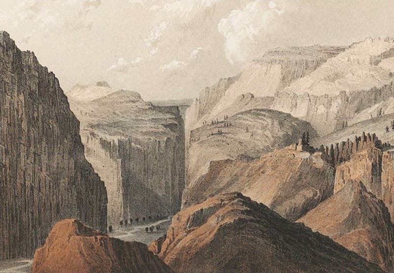
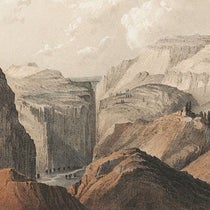
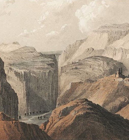
Black Canyon of the Grand River (later the Gunnison), detail of a tinted lithograph by John Mix Stanley after a sketch by Frederick W. von Egloffstein, in Pacific Railroad Reports, vol. 2, 1855 (The Linda Hall)
John James Abert, a U.S. Army officer and Topographical Engineer, was born Sep. 17, 1788, in what is now West Virginia. He was one of the early graduates of West Point (founded in 1802). He resigned his commission, but re-entered the Army during the War of 1812, and never again left. He found a home with the Topographical Engineers.

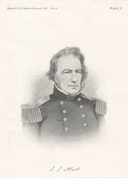
Portrait of John James Abert, 1895, New York Public Library Digital Collections (digitalcollections.nypl.org)
The Corps of Topographical Engineers was founded in 1818, to be responsible for military mapping and the building of roads, but initially it was part of the Corps of Engineers. Abert was not happy about that, and when he became head of the Corps in 1829, he slowly lobbied Congress for independence. His persistence paid off. In 1838, Congress established the Corps of Topographic Engineers as an independent military organization, reporting directly to the Secretary of War. Abert was appointed commander, with the rank of colonel. The Corps was to be staffed by 36 officers, all trained topographic engineers. Since West Point, until the late 1840s, was the only place that taught topographic engineering, that meant that the Corps was made up almost entirely of West Point grads, giving it an elitist character that did not sit well with old Amy brass.

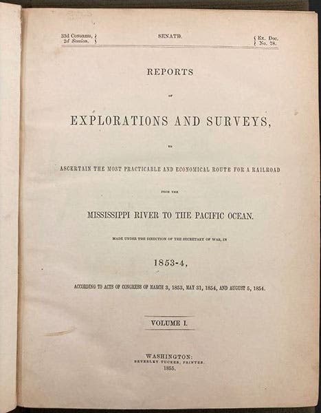
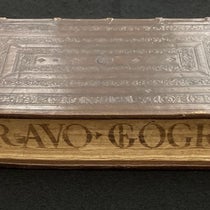
Title page of vol. 1 of the Pacific Railroad Reports, directed by John James Abert, 1855 (The Linda Hall)
That bothered Abert not at all. He began sending out parties to map the Upper Mississippi, the Missouri, and the Red and Arkansas river valleys, and to clear rivers of obstructions. He also had in mind sponsoring further expeditions like that of Stephen Long in the early 1820s across the Great Plains to the Rockies. He got his chance in 1842, when the Corps sent out John Fremont on the first of what would be five trans-prairie expeditions. Abert was not happy with Fremont's flamboyance and egocentric ways, or his alliance with Missouri Senator Thomas Hart Benton, but he always stood by him as an engineer.

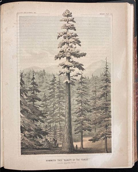
“Beauty of the Forest,” a sequoia, chromolithograph after a sketch by William P. Blake, in Pacific Railroad Reports, vol. 5, plate 13, p. 258, 1855 (The Linda Hall)
Abert really came to the fore when Congress decided in 1852 to authorize a concurrent series of military expeditions to find the optimal route for a trans-continental railroad. This meant organizing four expeditions headed west at four different parallels of latitude, from Montana to New Mexico, plus expeditions up and down California to find the best path across the Sierras. Abert put together and sent out seven survey parties, beginning in 1853. By 1855, the first of the Pacific Railroad Reports had been published, and by 1861, the set of Reports numbered thirteen quarto volumes, crammed with lithographs and maps and discussions by naturalists of animals, plants, and rock formations encountered. It was one of the greatest and most influential compilations resulting from the cooperation of the Army and civilian scientists and artists in U.S. history. We have two complete sets in our library, and we have presented its results in dozens of posts on the engineers, scientists, and artists involved. Examples include A.A. Humphries, John Gunnison, Robert Williamson, and Isaac Stevens, or you may copy “Pacific Railroad Reports” into this search box. Don’t forget to click the” Show More” box at the bottom. All of the images included today, except for the portrait, are from a volume of the Pacific Railroad Reports.

Geological map of Tejon Pass linking southern California to the Central Valley, engraving in Pacific Railroad Reports, vol. 5, map plate 3, 1855 (The Linda Hall)
Abert retired from the Corps in 1861, when the last PRR volume was published, and died two years later, just before Congress terminated the independence of the Corps of Topographical Engineers and merged it back into the Corps of Engineers. He would not have been pleased about that. He did leave behind an engineer son, James W. Abert, who led several expeditions west in the 1840s and 50s, and who has already been the subject of a post.

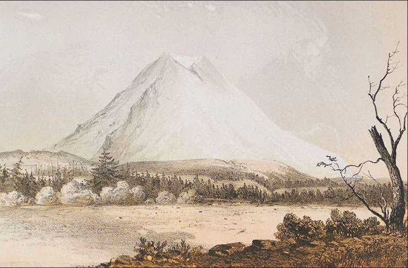
“Mount Rainier viewed from near Steilacoom,” detail of tinted lithograph by John Mix Stanley, Pacific Railroad Reports, vol. 12, 1855 (The Linda Hall)
There is an oil portrait of John Abert somewhere, but the low-resolution reproductions on Wikipedia and elsewhere are unsatisfactory. So we used here a posthumous engraving of 1897 (second image).
William B. Ashworth, Jr., Consultant for the History of Science, Linda Hall Library and Associate Professor emeritus, Department of History, University of Missouri-Kansas City. Comments or corrections are welcome; please direct to ashworthw@umkc.edu.